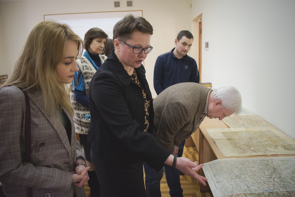
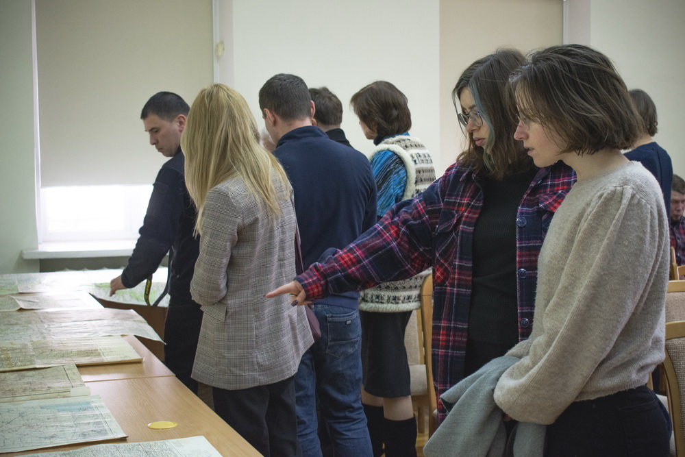

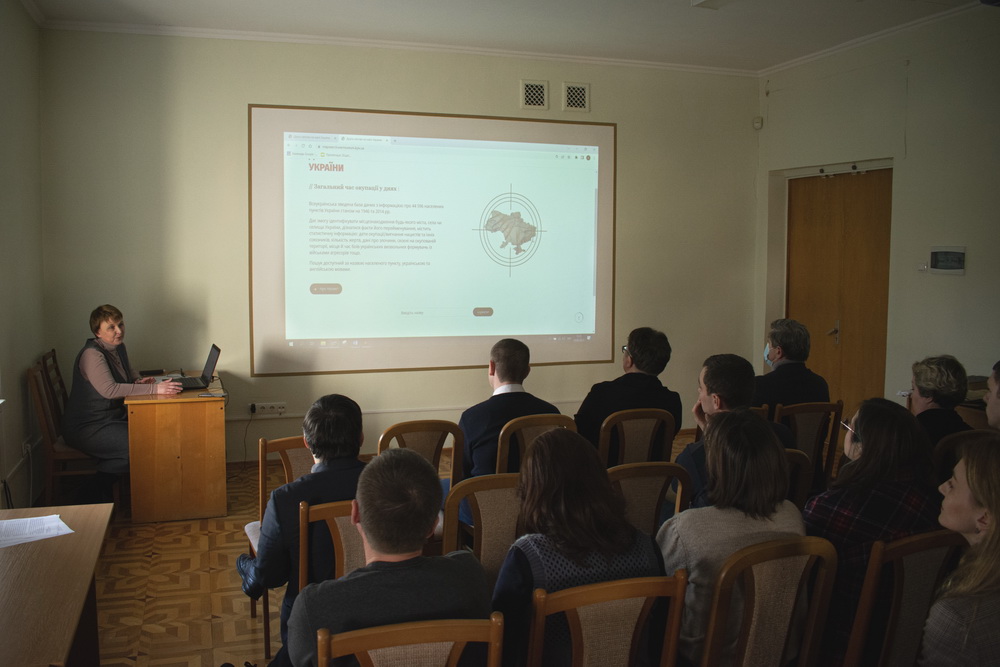
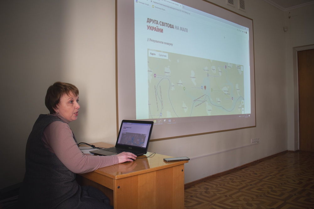

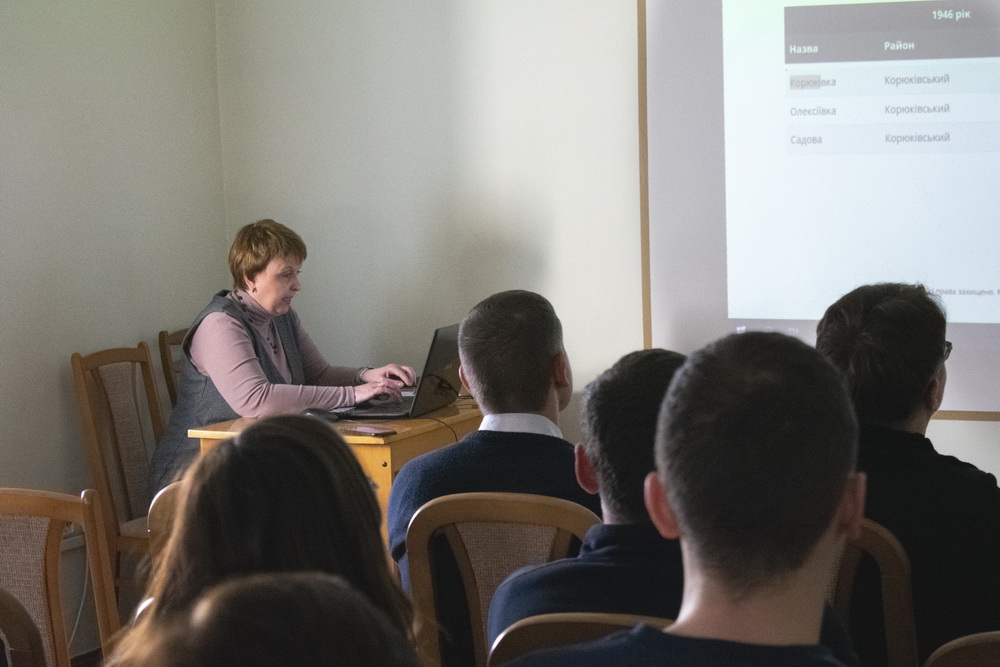
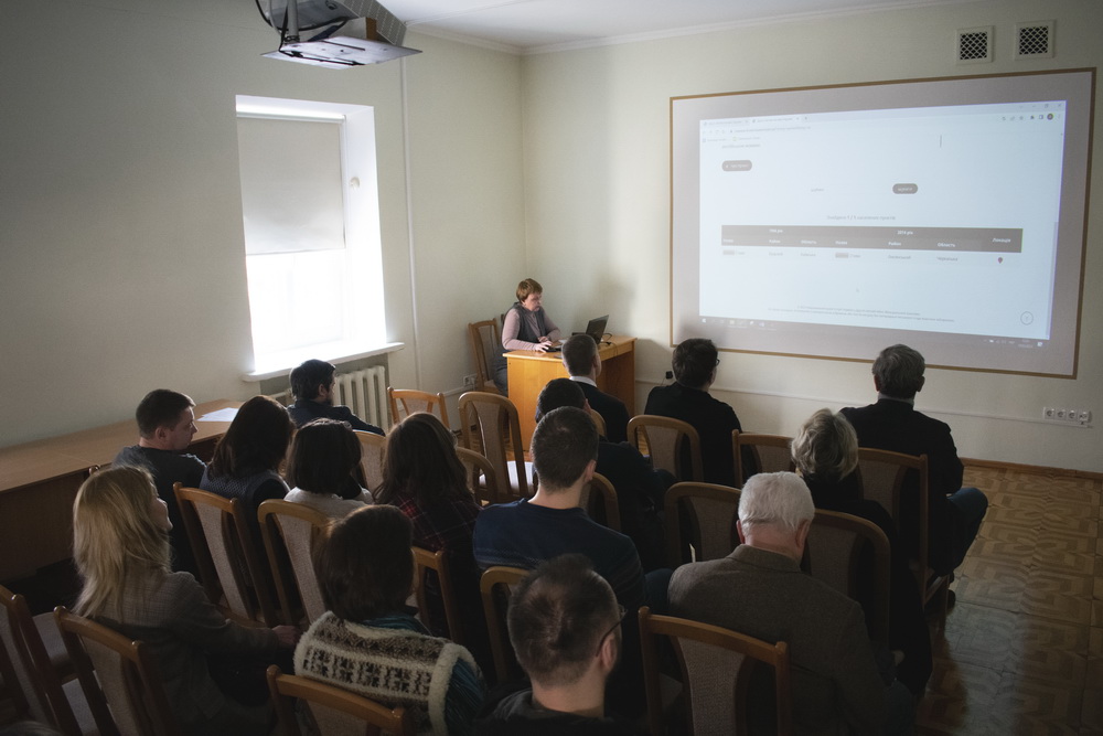
How exactly did the Second World War change the geography of Ukraine - from now on anyone can find the answer on the new reference resource of the Museum. This is an electronic cartographic project "The Second World War on the Map of Ukraine", presented by the Museum. And from now on it is available on our website https://mapsearch.warmuseum.kyiv.ua/pages/about/
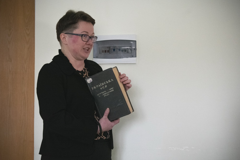
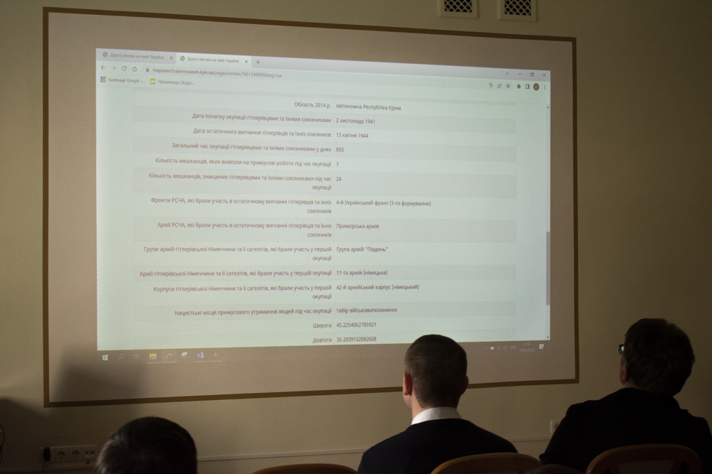
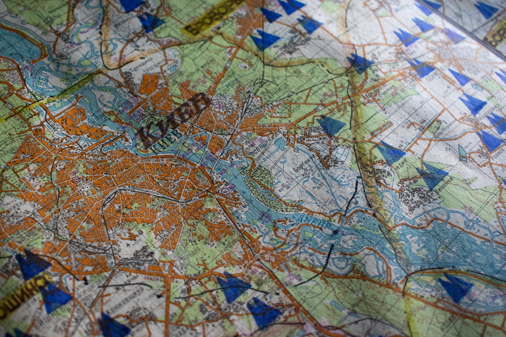
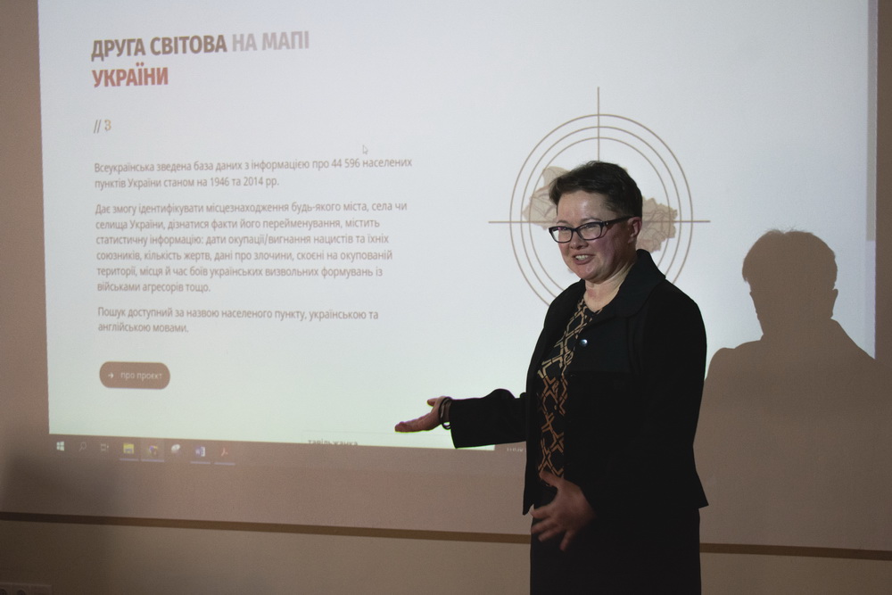
In it, scientists of the Museum collected data on the names of 44,596 cities, villages and towns, their subordination and geographical location as of 1946 and 2014 - from the Second World War to the beginning of the Russo-Ukrainian war. The administrative-territorial component is complemented by information about troops, civilian population, etc. You can find the dates of the occupation of each settlement, the locations of battles between the UPA, the Wehrmacht and the NKVD, and information about war crimes in the database. The information about villages that up to four times changed hands is impressive. The tragic fate of the civilian population is evidenced by about 700 people burned during the German occupation of villages and towns, as well as hundreds of villages that were deregistered by the Soviet authorities for supporting the Ukrainian rebels.
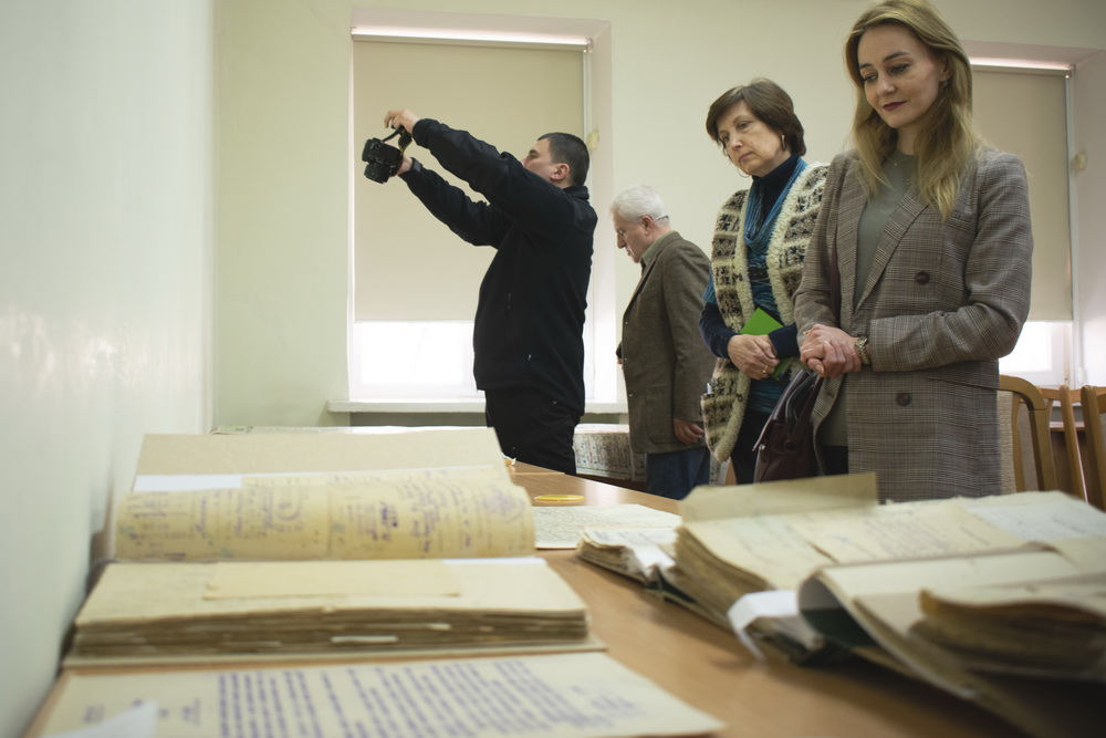
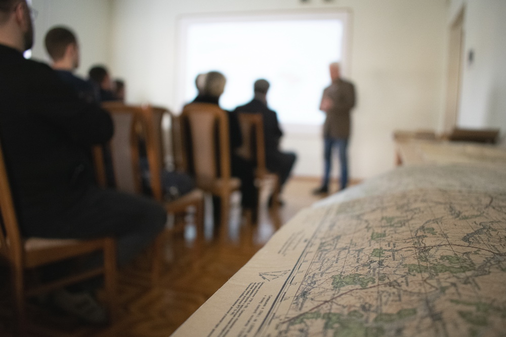
The impetus for this fundamental work was the requests of people who asked to help the Museum establish the places of death of their relatives. This data is contained in death certificates, and there are about 3 million such "funerals" in the Museum collection. The places of death could not always been established by them: some settlements were renamed after the war, some were artificially flooded, and some were incorporated in larger ones. Our scholars began to clarify the data, worked with the sources and maps for more than ten years. In parallel, the information was enriched by the facts from the history of settlements, which we added to the geographical ones. There are the dates of the occupation and expulsion of the Nazis and their allies - the Hungarian, Romanian, and Italian armies. There are the names of the units that liberated the settlements, and there are the dates and places of battles with the UPA, Wehrmacht troops, and the NKVD. There is data regarding the crimes on the occupied territories and mass executions of Jews, on villages that were burned down by the Nazis, and villages that the Soviet authorities removed from the register for supporting Ukrainian rebels.
"Now, due to this fundamental work, the Museum’s scholars are able to answer 7 out of 10 citizen their questions about the places of death of their relatives," - emphasized the Deputy Director General of the Museum Liudmyla Rybchenko at the presentation of the project. Such a resource will help historians in the proper attribution of facts, and museum workers - in a detailed presentation of the documents.
In general, references and encyclopedic editions are currently the most demanded and valuable. And extremely difficult to create. "Therefore, the completion of this work is a joy, a celebration, a feat," said Director General Yurii Savchuk, congratulating the Museum staff on the completion of the fundamental project.
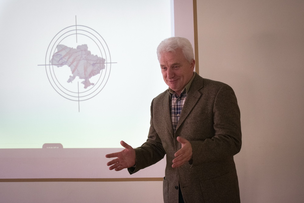
Now, when the Russo-Ukrainian war continues, the value of the electronic cartographic database of the Museum acquires special importance. "The military have a need to study the front lines, which are comparable and after 80 years practically overlap with each other," notes Svitlana Datsenko, project coordinator. Therefore, the innovative database of the Museum, according to its reviewer, doctor of historical sciences, head of the Department of the History of Ukraine in the Second World War of the Institute of History of Ukraine of the National Academy of Sciences of Ukraine Oleksandr Lysenko, is "a thorough basis of work for the future."